Sold STC


Guide price
£435,000
Having knowledge of the purchase price allows you to calculate the overall expense incurred in acquiring the property. Read our glossary page
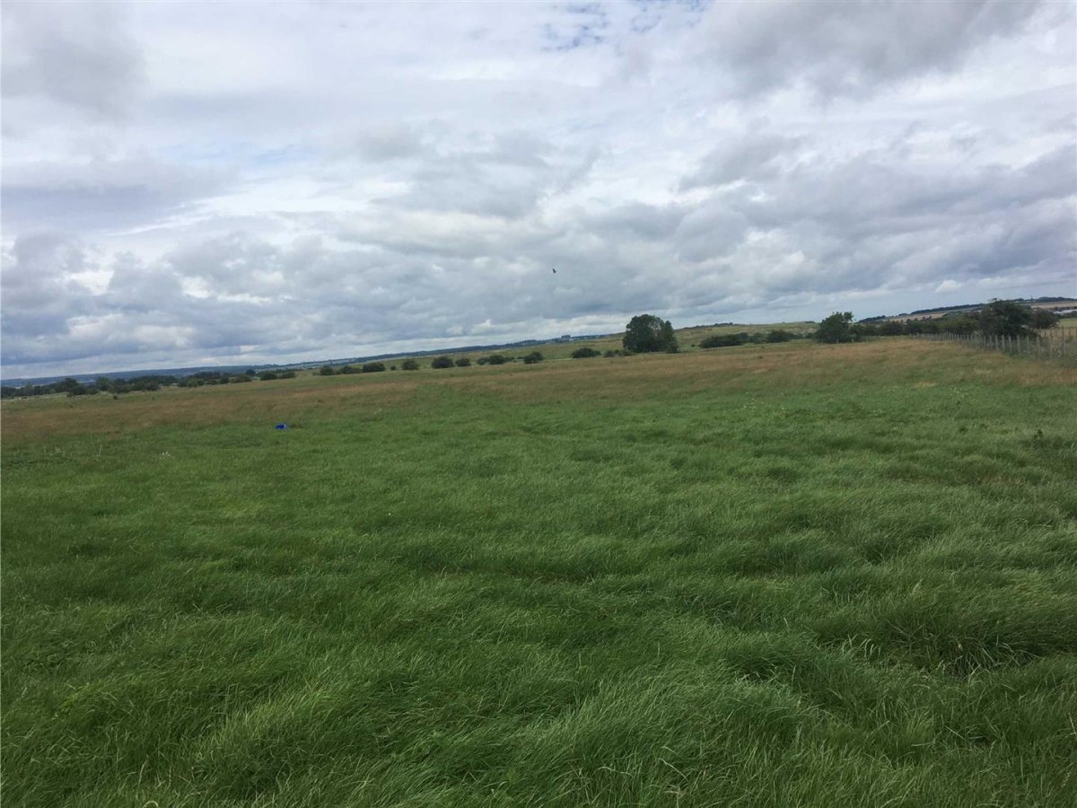
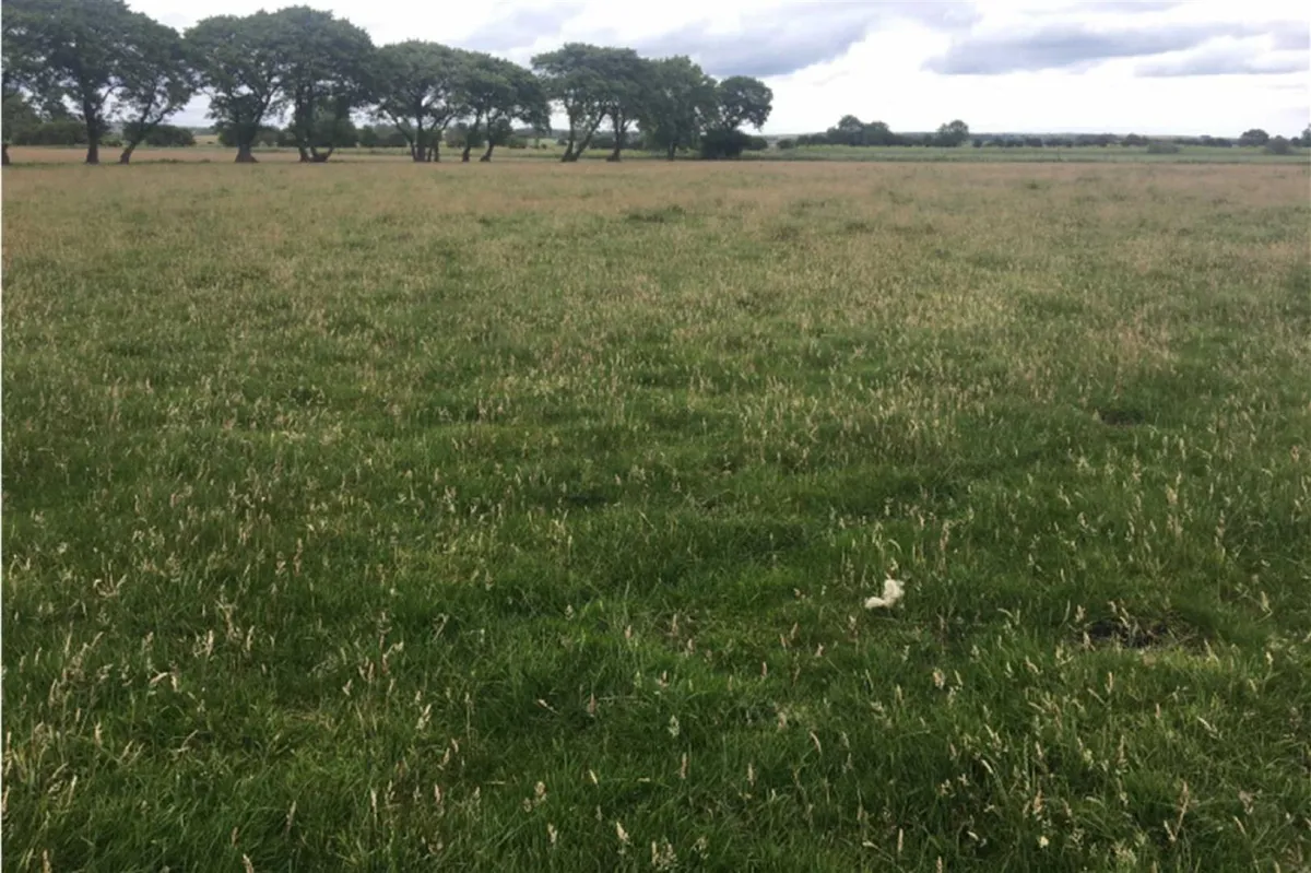
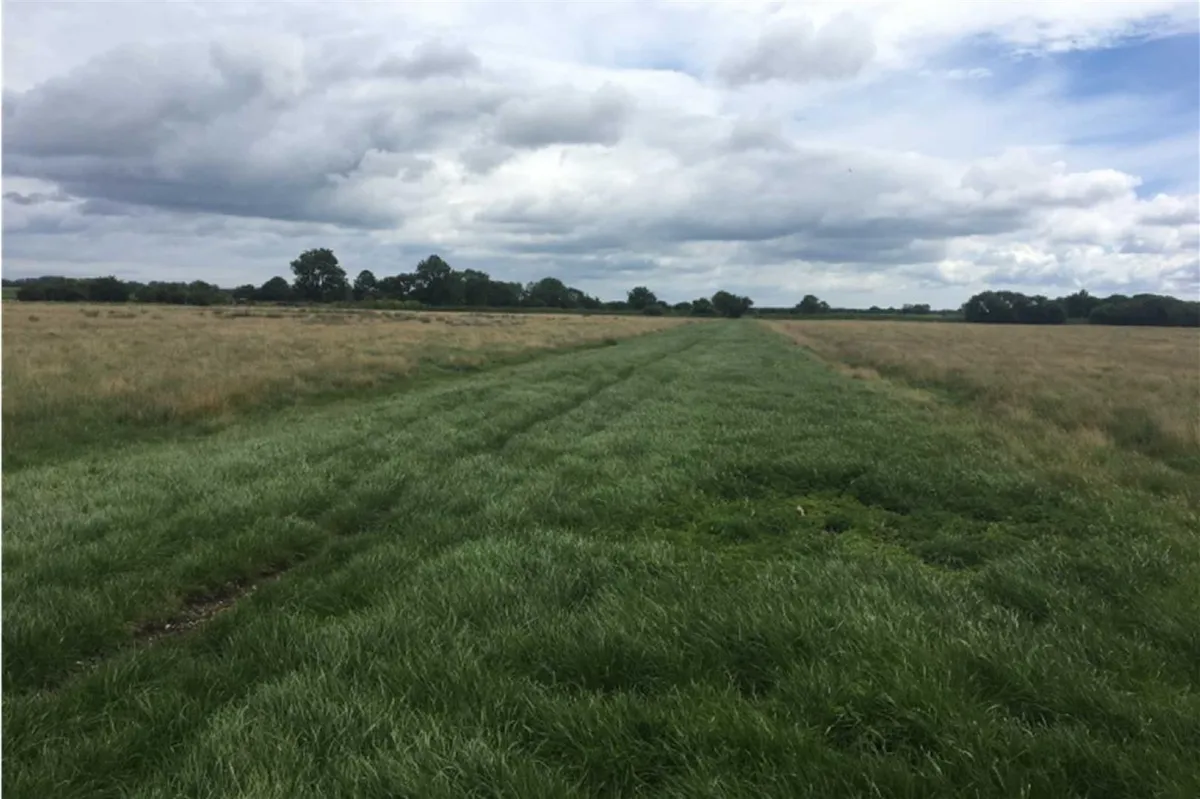
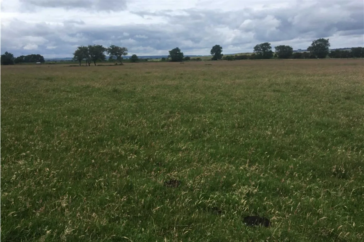
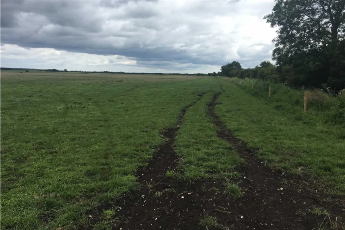
Flixton Carr Lane, Flixton
About this property
Council Tax A fee submitted to your local authority to cover expenses related to local amenities such as schools, libraries, and waste management. The payment amount is determined based on the property's value. Read our glossary page :
Use Class A commercial use class refers to a classification system that categorises buildings based on their intended commercial purposes, such as offices, retail spaces, or industrial facilities. Read our glossary page
ASK AGENT
Material information
ExpandMap
Train stations
Yield calculator
Stamp duty calculator
Similar properties


Need a Valuation?
Need a Valuation?Our team of experts will get the best price for your property.
Book a valuation Find out how muchyour property is worth


